
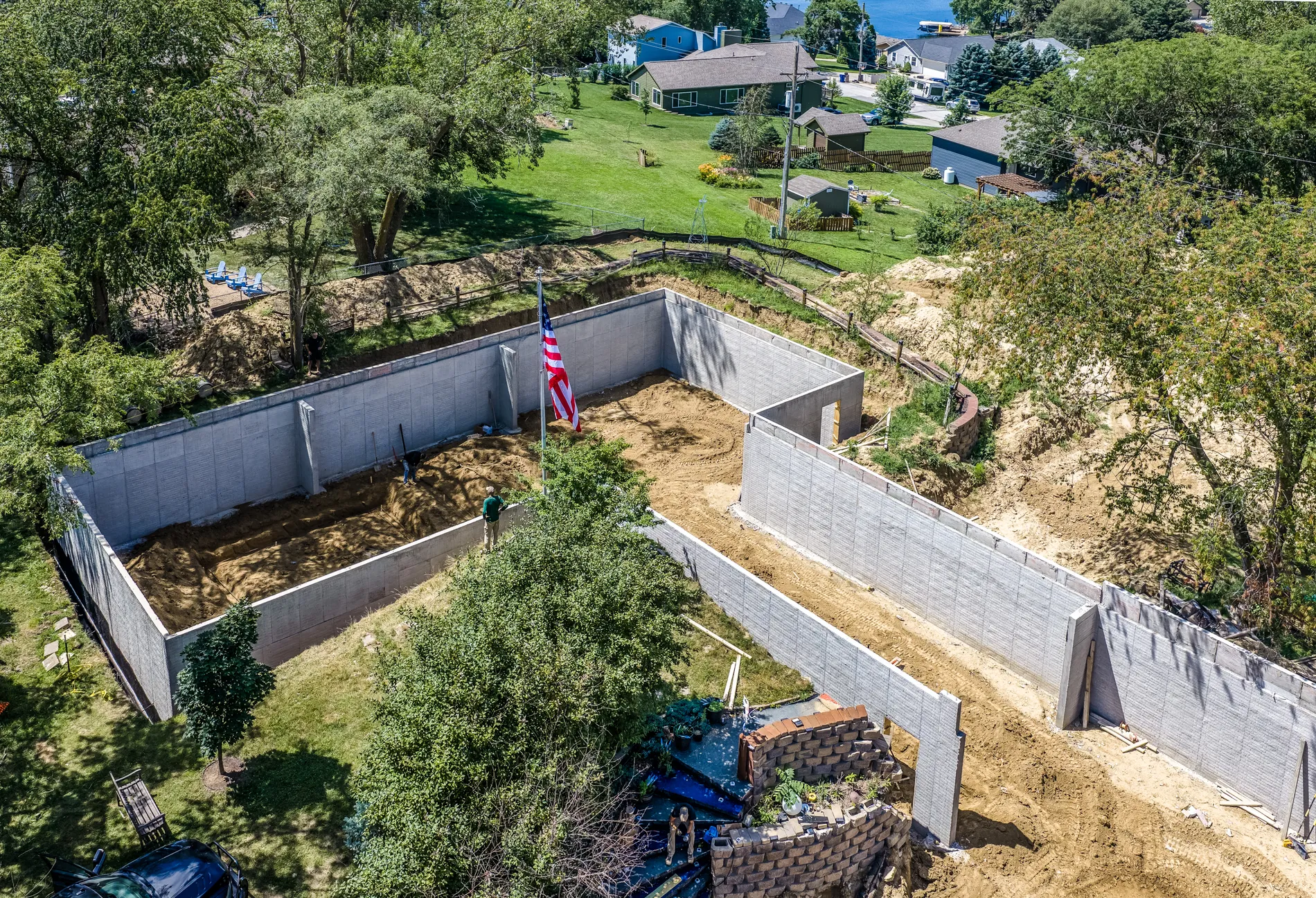
Construction & Development Progress
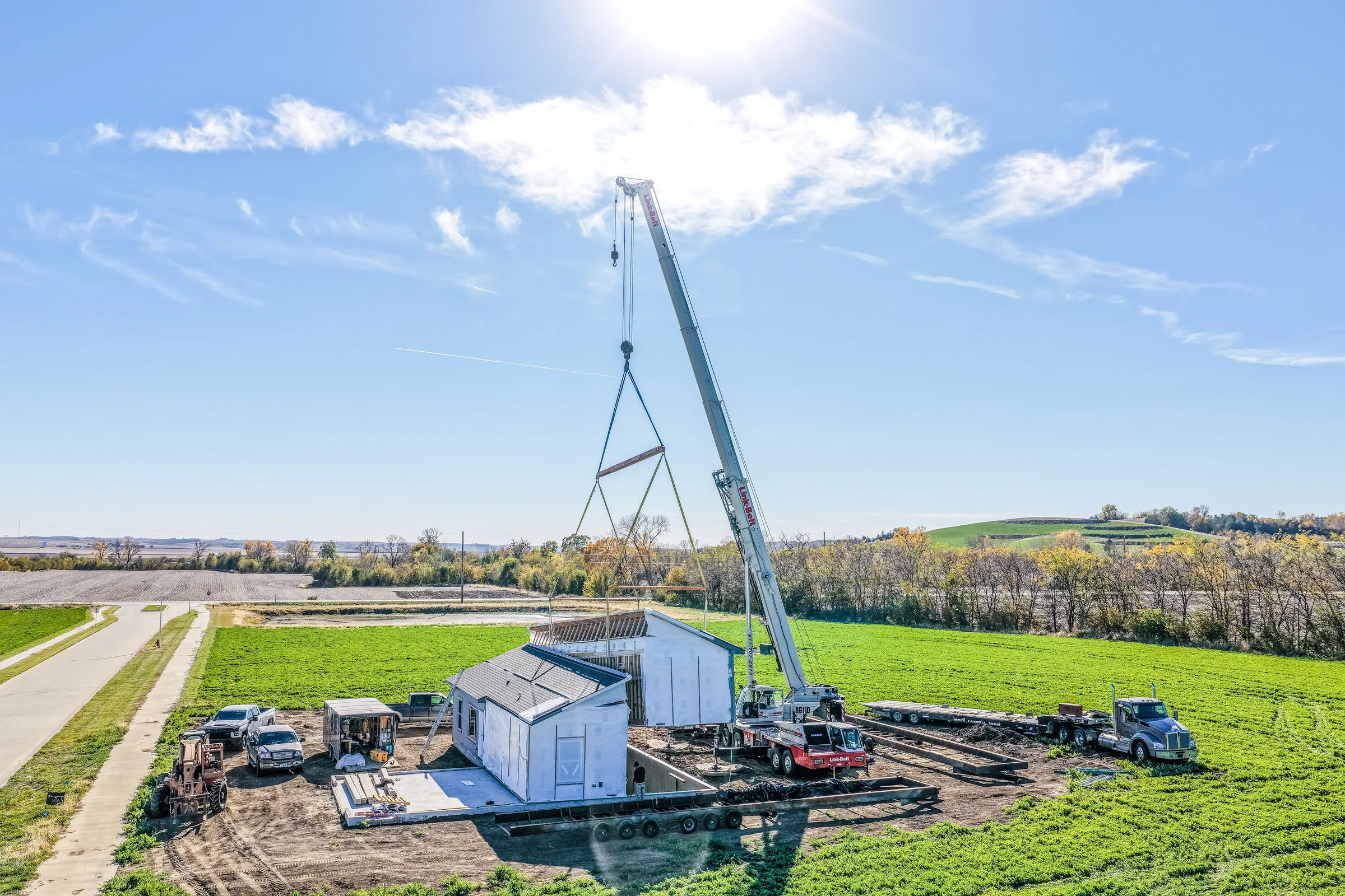
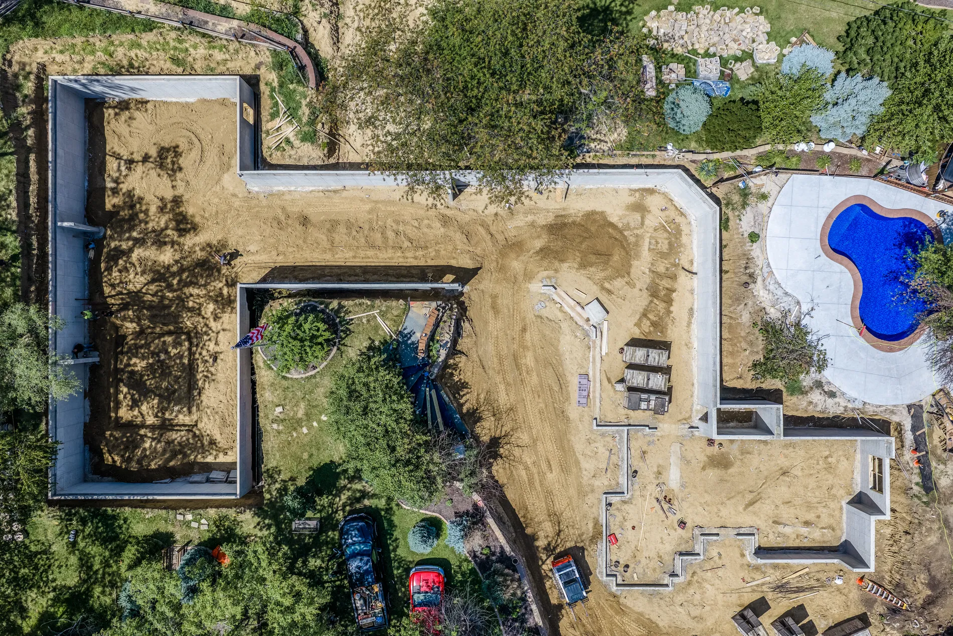
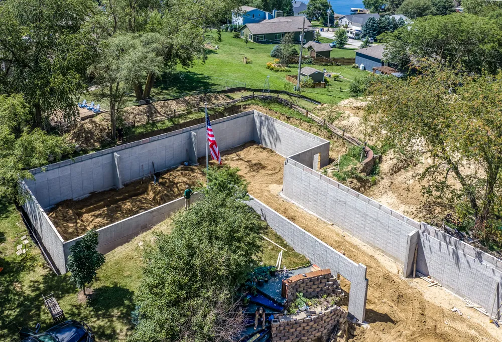
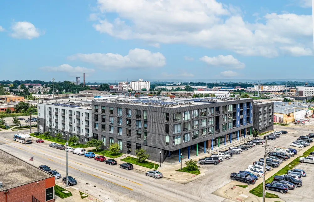
Aerial photography and video for construction milestones, development sites, completed projects, and progress documentation.
Services · Aerial
Drone photography and video for construction, land, commercial properties, agriculture, and specialty projects — FAA Part 107 licensed & insured.
Start a ProjectPerspective, Used Intentionally
LENZ provides professional aerial photography and video throughout western Iowa, the Omaha/Council Bluffs metro, eastern Nebraska, and surrounding Midwest markets, with travel available for commercial and specialty projects. The value isn't simply getting a drone in the air — it's using that perspective intentionally to show scale, progress, location, and context.
What We Cover
Aerial photography and video for construction milestones, development sites, completed projects, and progress documentation.
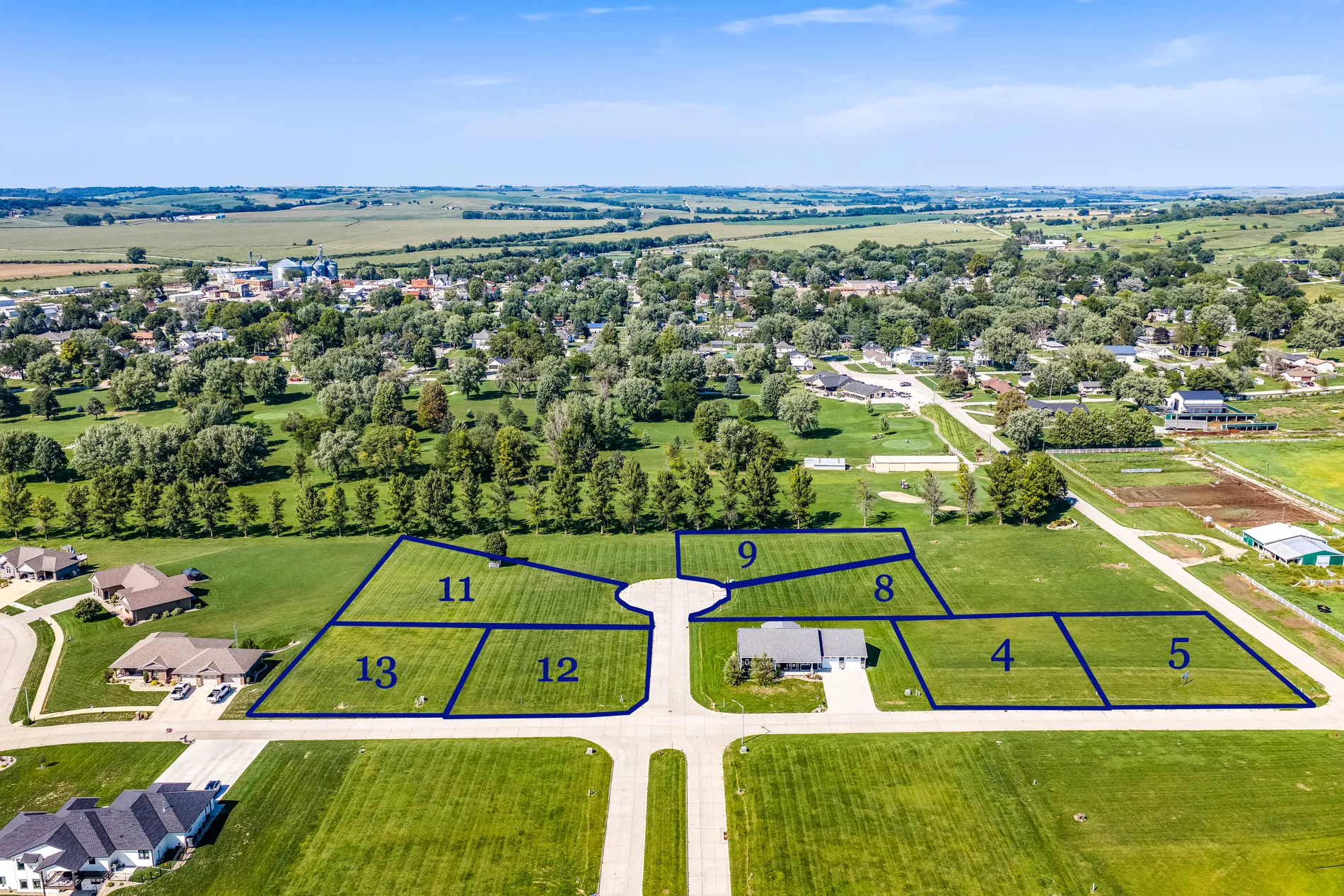
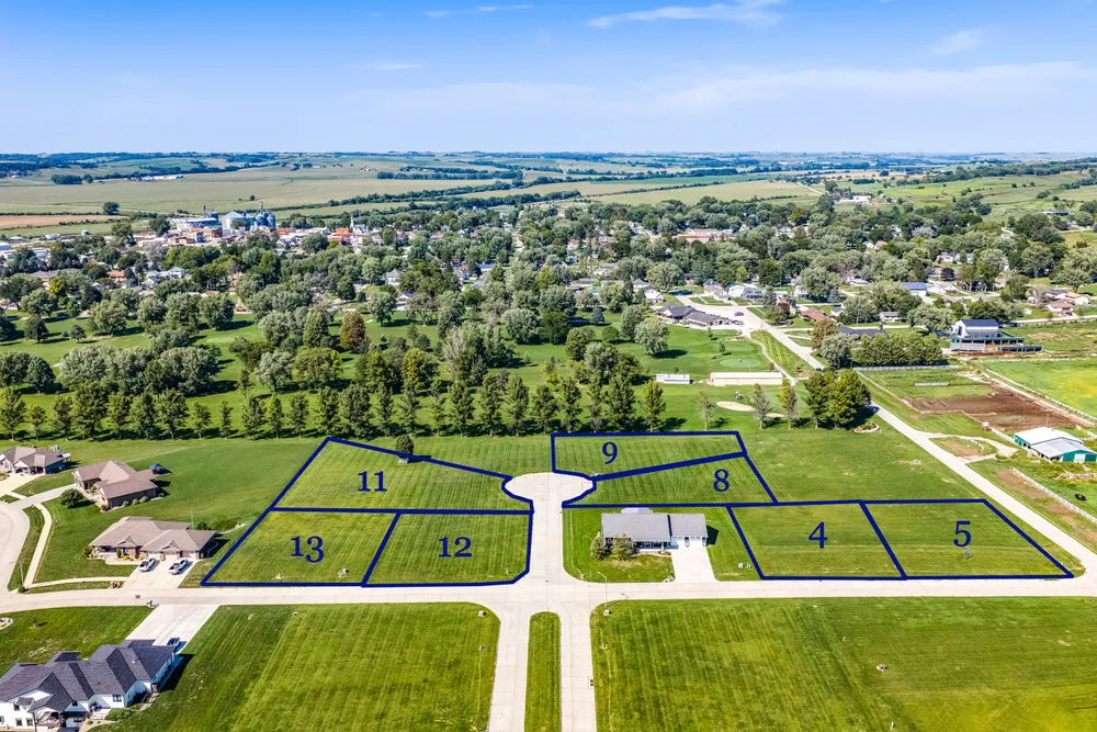
Acreages, farmland, development parcels, and large properties — aerial imagery that helps communicate scale, boundaries, and surrounding context. Parcel and boundary overlays are visual presentation tools based on information supplied by the client, not surveying, engineering, or legal boundary determination.
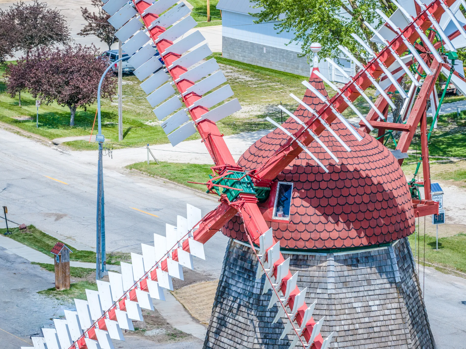
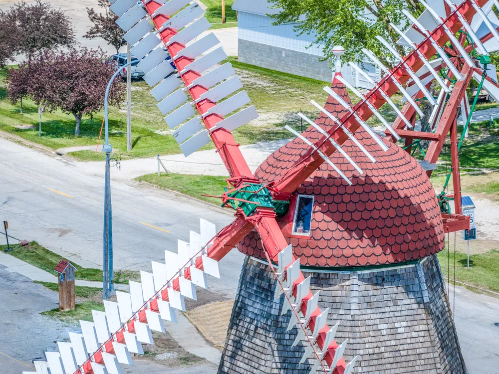
Aerial imagery for landmarks, tourism, community projects, events, agriculture, and other subjects where a ground-level photograph can't show the full story.
Agriculture & Rural Business
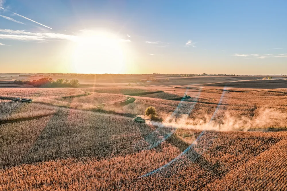
The work, the land, the equipment, the people behind it — captured from every angle. LENZ creates professional photography and aerial video for farms, agribusinesses and rural brands throughout the Midwest.
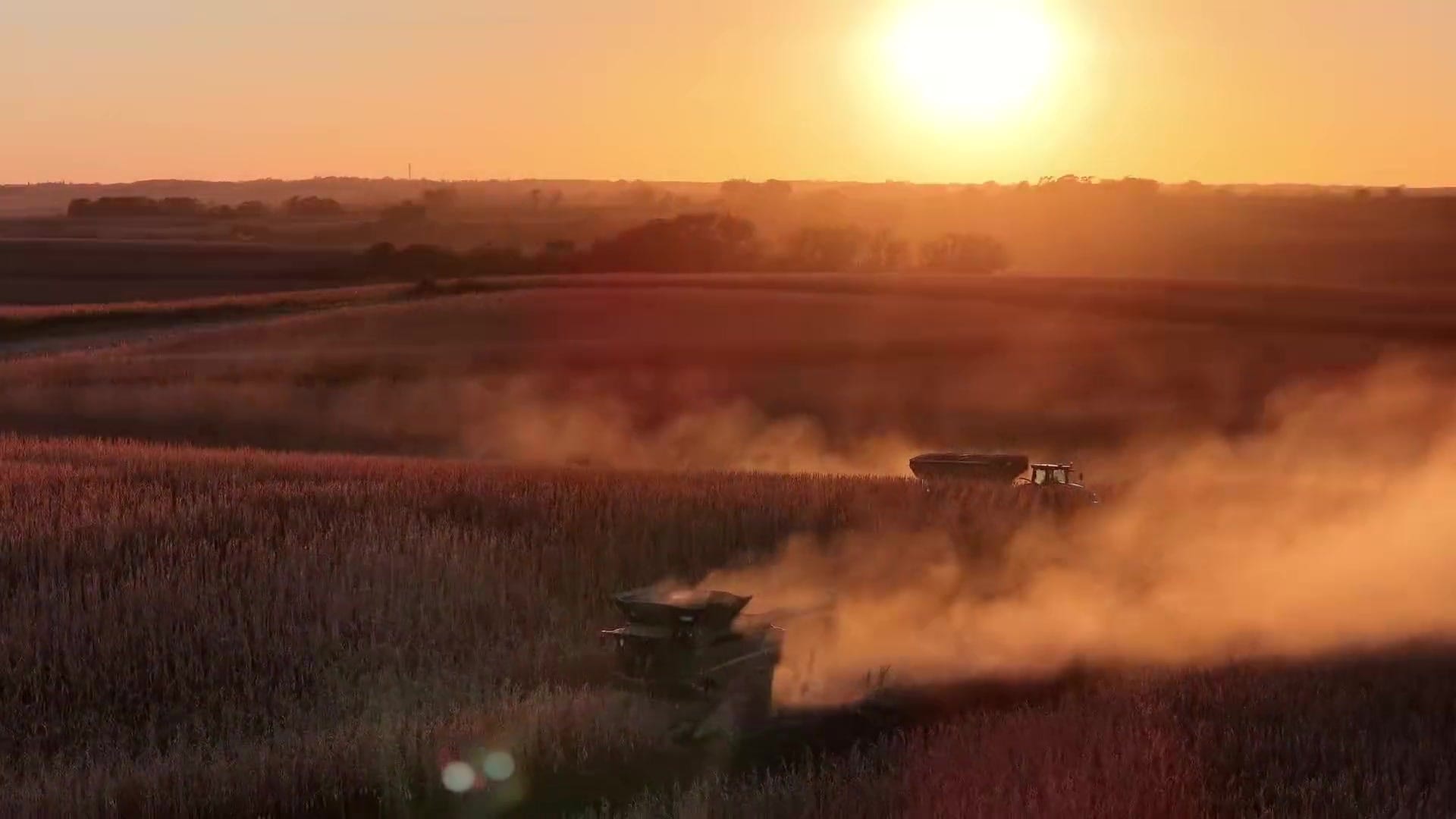 Featured Film
Selected Aerial Work
Get Started
Tell us about the project — construction progress, land, a commercial property, or something more specialized — and we'll follow up to plan the coverage.
Start a ProjectNeed aerial photography for a real estate listing? Book Real Estate(opens the online booking site in a new tab)